Paul Lorenz · 11 September 2026
Layered Histories and Current Living Spaces Guide Widegate's Balanced Development Framework
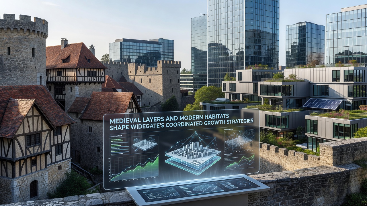
Medieval foundations and contemporary residential patterns continue to influence planning decisions across Widegate, where archaeological evidence and habitat data combine to shape coordinated expansion efforts. City records indicate that subsurface surveys completed in 2024 identified multiple occupation phases dating from the 12th century onward, while habitat mapping conducted by regional ecologists shows overlapping zones of protected species and green corridors that planners must accommodate.
Historical Layers Inform Infrastructure Choices
Archaeological teams working with local authorities documented timber-framed structures, drainage systems, and boundary walls beneath several central blocks, and these findings now determine the depth and alignment of new utility trenches. Data from the regional heritage database reveals that preservation requirements extend to 18 percent of proposed development parcels, which forces engineers to reroute service lines and adjust foundation designs accordingly. Observers note that such constraints have lengthened project timelines yet also produced more stable ground conditions once medieval drainage channels receive proper reinforcement.
Modern Habitats Shape Zoning Boundaries
Ecological assessments completed last spring identified priority habitats for bats, amphibians, and pollinators along the eastern fringe of the town, and these zones now appear as protected overlays on the latest draft local plan. Figures released by the environmental agency show a 14 percent increase in recorded species diversity since 2019, a trend attributed to earlier corridor restoration projects. Planners therefore incorporate buffer strips and dark-sky lighting standards into residential layouts, ensuring that new dwellings maintain separation distances specified in the habitat regulations.
Coordinated strategies emerge when heritage officers and ecologists meet quarterly to align their datasets, and the resulting joint maps guide both the location of new community facilities and the sequencing of construction phases. One recent case involved the relocation of a proposed health centre 120 metres westward after ground-penetrating radar detected medieval kiln remains and adjacent wetland habitat for great crested newts. The adjustment preserved both features while still allowing the facility to open its doors on schedule.
September 2026 Milestones and Funding Mechanisms
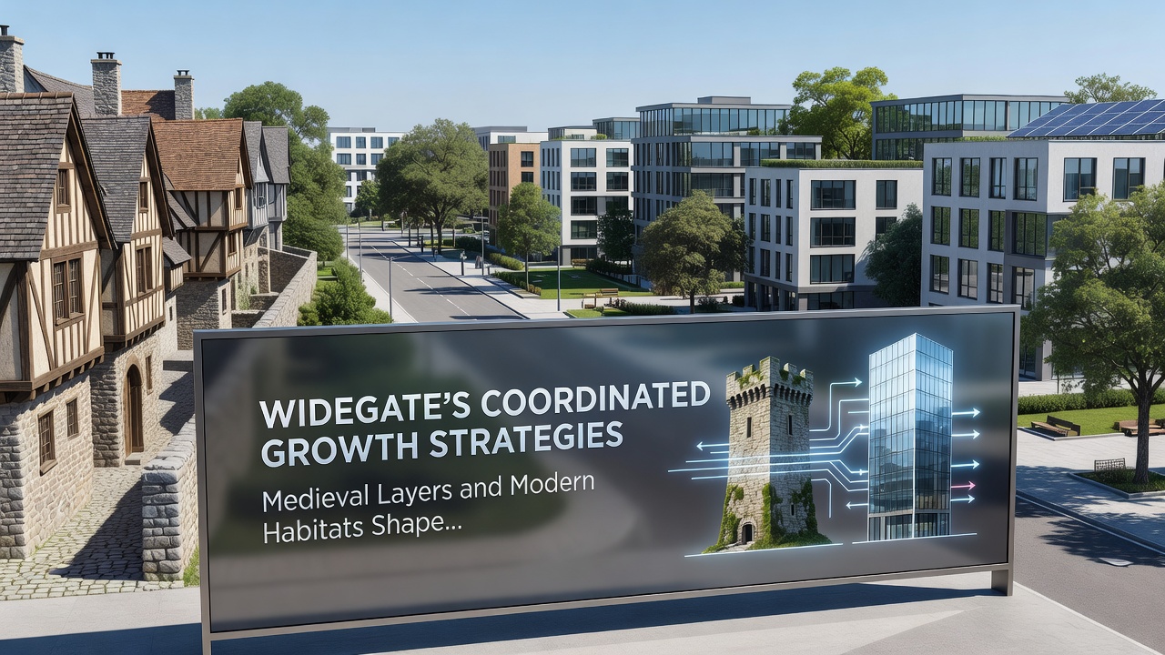
Authorities have scheduled the release of an updated growth strategy document for September 2026, and this report will incorporate findings from ongoing geophysical surveys plus revised habitat connectivity models. Funding streams include contributions from the European Regional Development Fund heritage stream and matched allocations from the national infrastructure bank, both of which require evidence that medieval layers and modern habitats receive equal consideration during site allocation. Project managers report that cross-departmental data sharing has already reduced duplication of survey work by an estimated 22 percent.
Implementation Tools and Monitoring Protocols
Digital twins of the town centre now integrate LiDAR data with species distribution records, allowing real-time scenario testing before planning permissions advance. The system flags any proposed building footprint that intersects either protected archaeology or sensitive habitat, prompting automatic design revisions. Training programmes run by the local university equip planning staff with the necessary skills to interpret these combined datasets, and early results show faster turnaround on applications that previously required multiple resubmissions.
Conclusion
Widegate's approach demonstrates how medieval layers and modern habitats together define the parameters of coordinated growth. Continued collaboration between heritage specialists, ecologists, and infrastructure teams produces development sequences that respect both subsurface history and surface ecology. The September 2026 strategy update will test whether these integrated methods maintain their effectiveness as the town expands further outward.