Noah Becker · 6 November 2026
Medieval Trade Routes Emerge from Digs to Shape Widegate's Zoning Framework
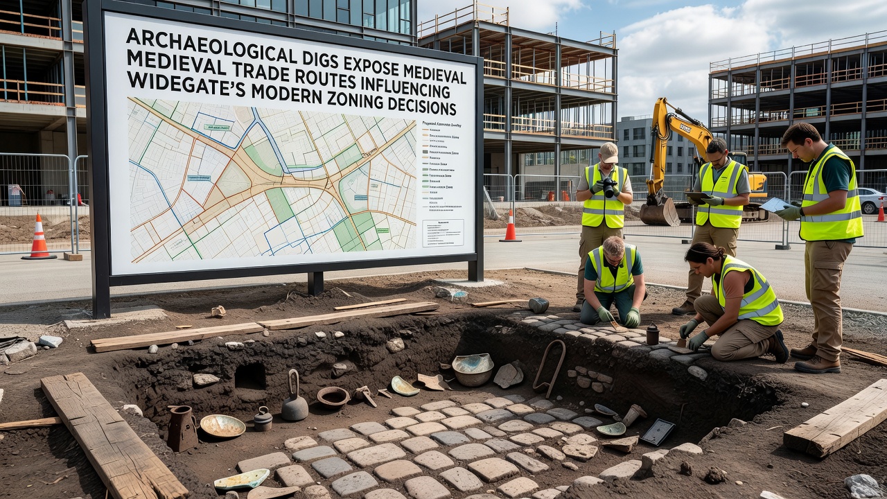
Recent excavations across several Widegate sites have brought to light remnants of medieval trade corridors that once connected regional markets, and these findings now feed directly into local planning processes as officials adjust zoning boundaries to protect the newly documented alignments. Teams from multiple universities began systematic digs in early 2025 at locations along the historic high street and adjacent fields, where layers of cobbled paths, coin hoards, and imported pottery fragments emerged in patterns consistent with 12th- to 14th-century commerce routes running east toward coastal ports and west into inland settlements. Data compiled by the Widegate Archaeological Trust shows that at least three previously unknown trackways cross areas currently designated for mixed residential and light commercial use, prompting planners to redraw preliminary maps before the next round of approvals scheduled for November 2026.
Surveyors documented the routes through a combination of geophysical scanning and targeted trenching that revealed compacted earth surfaces reinforced with timber edging and drainage ditches typical of medieval thoroughfares. One such alignment runs parallel to the present-day boundary between residential zones and the proposed expansion of the market square, while another intersects land earmarked for new transport links; researchers mapped these features using GPS coordinates that align with entries in 13th-century toll records held in regional archives. The evidence indicates traders moved goods such as wool, salt, and metalwork along these paths, and the physical traces have survived beneath modern topsoil because later development largely avoided the low-lying corridors prone to seasonal flooding.
Integration with Current Planning Documents
Widegate's planning department has incorporated the excavation data into its digital zoning layers, adjusting density limits and setback requirements where the medieval alignments intersect proposed building footprints. Officials cross-referenced the dig findings against LiDAR imagery collected in 2024, confirming that subtle linear depressions visible from above correspond precisely to the excavated surfaces below. This correlation allows planners to designate narrow preservation strips along the route centers without halting adjacent development, a method already tested in similar heritage-sensitive districts elsewhere in the region. Updates to the local development framework now list these corridors as constraints that must be addressed in any application exceeding 500 square meters of new floor space.
Public records released in October 2025 detail how the zoning committee consulted heritage officers on each revision, resulting in three specific parcels being reclassified from commercial to mixed-use with mandatory archaeological watching briefs during construction. The process relies on the same regulatory checklists applied to other historic landscape features, ensuring consistency across different project scales while still allowing phased building work to proceed once monitoring protocols are in place.
Comparative Approaches in Other Regions
Similar situations have arisen in heritage management programs run by authorities in Canada and Australia, where ancient transport routes uncovered during infrastructure projects led to targeted zoning overlays rather than outright development bans. In one documented case, Canadian provincial planners used route data from 18th-century fur-trade trails to inform buffer zones around modern road corridors, preserving subsurface integrity while permitting controlled expansion. Australian state heritage bodies have likewise applied medieval-style trackway findings from colonial-era surveys to refine urban growth boundaries, citing comparable survival rates of compacted surfaces beneath contemporary fill layers. Widegate's approach draws on these precedents through shared technical guidelines circulated by international conservation networks, adapting the core principle that physical evidence of past movement patterns can coexist with measured modern land allocation.
Technical Methods and Ongoing Monitoring
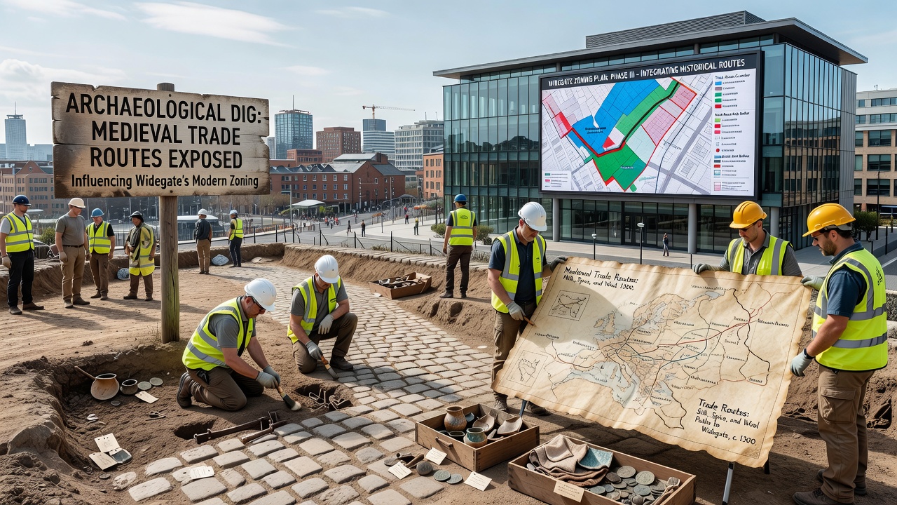
Excavation crews employed ground-penetrating radar followed by selective open-area digs to expose route surfaces without disturbing surrounding deposits, a sequence that yielded stratigraphic sequences spanning the 1100s through the 1500s. Finds including horseshoe nails, wheel ruts, and imported ceramics were catalogued in situ before being lifted for laboratory analysis, with results fed back into the zoning database within weeks of recovery. Monitoring stations installed along the preserved alignments now record moisture levels and vibration data, providing baseline measurements that future construction projects must respect under the updated planning conditions. These stations transmit readings to a central archive managed jointly by the archaeological trust and the local council, allowing real-time adjustments if thresholds are approached during nearby works.
Funding for the continued program comes from a combination of developer contributions tied to planning permissions and grants administered through national heritage bodies, ensuring the monitoring network remains operational through at least 2028. The arrangement mirrors protocols used in other UK districts where route preservation forms part of routine development oversight rather than standalone research initiatives.
Conclusion
The integration of medieval route data into Widegate's zoning framework demonstrates how excavation results translate into measurable adjustments in land-use policy, with specific parcels reclassified and monitoring requirements embedded in planning consents. Continued work through November 2026 will test whether the current balance between preservation strips and adjacent development maintains the integrity of the discovered alignments while supporting the area's growth targets. Records from the ongoing program remain available through the Widegate Archaeological Trust and the local planning portal for review by researchers and applicants alike.