Paul Lorenz · 23 October 2026
Modeling Efforts Shape Flood Protection Measures in Widegate's Lowland Areas
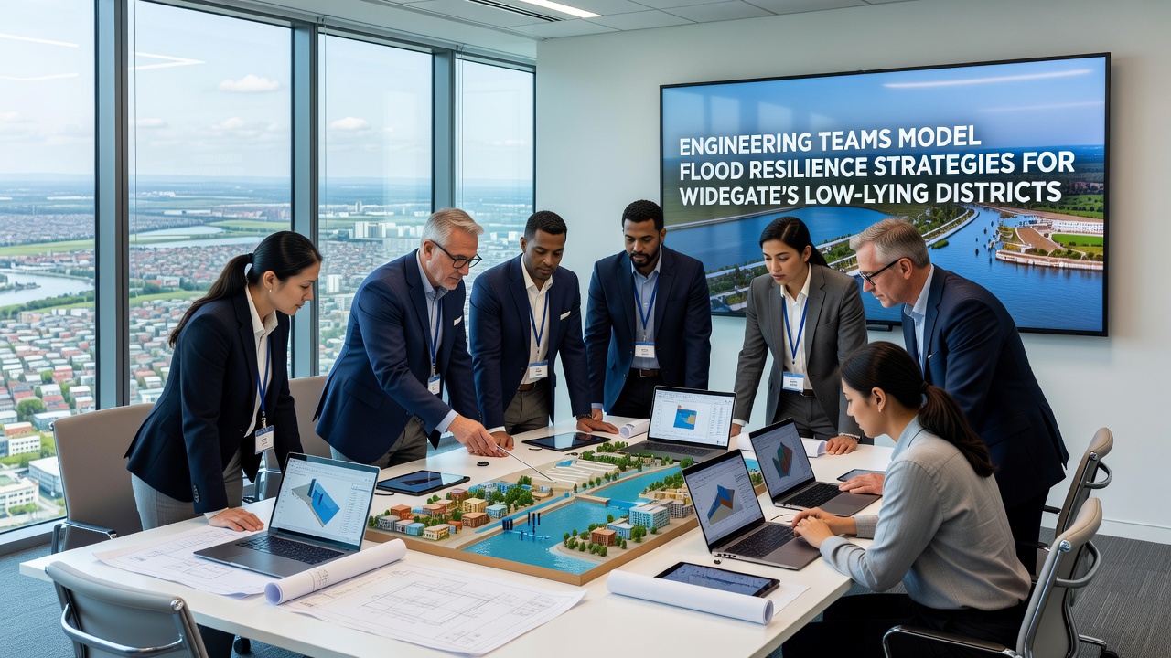
Engineering teams have applied advanced hydrological models to evaluate flood risks across Widegate's low-lying districts, where elevation data and historical rainfall records indicate repeated inundation events since the mid-20th century, and these efforts integrate topographic surveys with climate projection datasets to forecast water flow patterns under various storm scenarios. Researchers from multiple institutions compiled elevation maps and soil permeability measurements, then fed those inputs into software that simulates river overflow, surface runoff, and drainage capacity during extreme precipitation, while October 2026 updates to the models incorporated revised sea-level rise estimates released by international monitoring bodies.
Core Components of the Modeling Process
Teams constructed digital twins of the districts by combining LiDAR scans with ground-penetrating radar readings that reveal subsurface water channels, and they calibrated the models against flood events recorded in 2015, 2019, and 2023 to verify accuracy before running forward projections. The simulations tested combinations of raised embankments, permeable paving systems, and upgraded culverts, with outputs showing how each option alters peak water levels at key junctions throughout the area. Data from these runs guided selection of priority zones where property density and critical infrastructure overlap with the highest modeled flood depths.
Integration of Real-Time Monitoring Systems
Engineers installed sensor networks along drainage corridors and at bridge abutments to feed live water-level and velocity data back into the models, allowing adjustments when actual conditions diverge from initial forecasts. This feedback loop has already refined predictions for the coming winter season, and authorities plan to link the system with regional weather services so alerts can trigger automated barrier deployments. Observers note that such integration draws on practices documented by agencies such as NOAA in coastal resilience programs, where continuous data streams improved model reliability over successive storm seasons.
Collaboration Across Disciplines and Jurisdictions
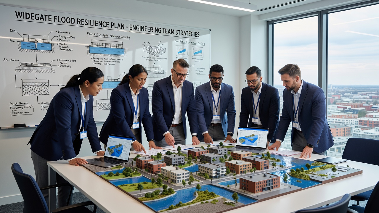
Hydrologists, structural engineers, and urban planners coordinated through shared digital platforms that allow simultaneous edits to model parameters, while local government representatives supplied land-use records that influence runoff coefficients. Cross-border exchanges with counterparts in the Netherlands and Australia introduced design elements such as compartmentalized retention basins and green corridor networks that slow water movement before it reaches built-up zones. These exchanges highlighted how different regulatory frameworks shape implementation timelines, with one study from the European Environment Agency illustrating faster permitting processes when multi-stakeholder review occurs early in the modeling phase.
Construction sequencing now follows outputs that rank interventions by cost-benefit ratios derived from the simulations, and phased rollouts scheduled for 2027 through 2030 prioritize districts where model outputs showed the greatest reduction in expected annual damages per pound invested. Maintenance schedules incorporate annual model recalibrations that account for sediment accumulation and vegetation growth within channels, factors that alter conveyance capacity over time.
Conclusion
Continued refinement of the flood models supports iterative improvements to defense infrastructure as new data arrives, and ongoing monitoring ensures that strategies remain aligned with evolving precipitation patterns projected through the 2030s. The approach demonstrates how computational tools translate complex environmental variables into actionable engineering plans for districts facing recurrent flood exposure.