Zara Reed · 25 September 2026
Wildlife Corridor Mapping Reveals Challenges for Widegate's Proposed Road Links
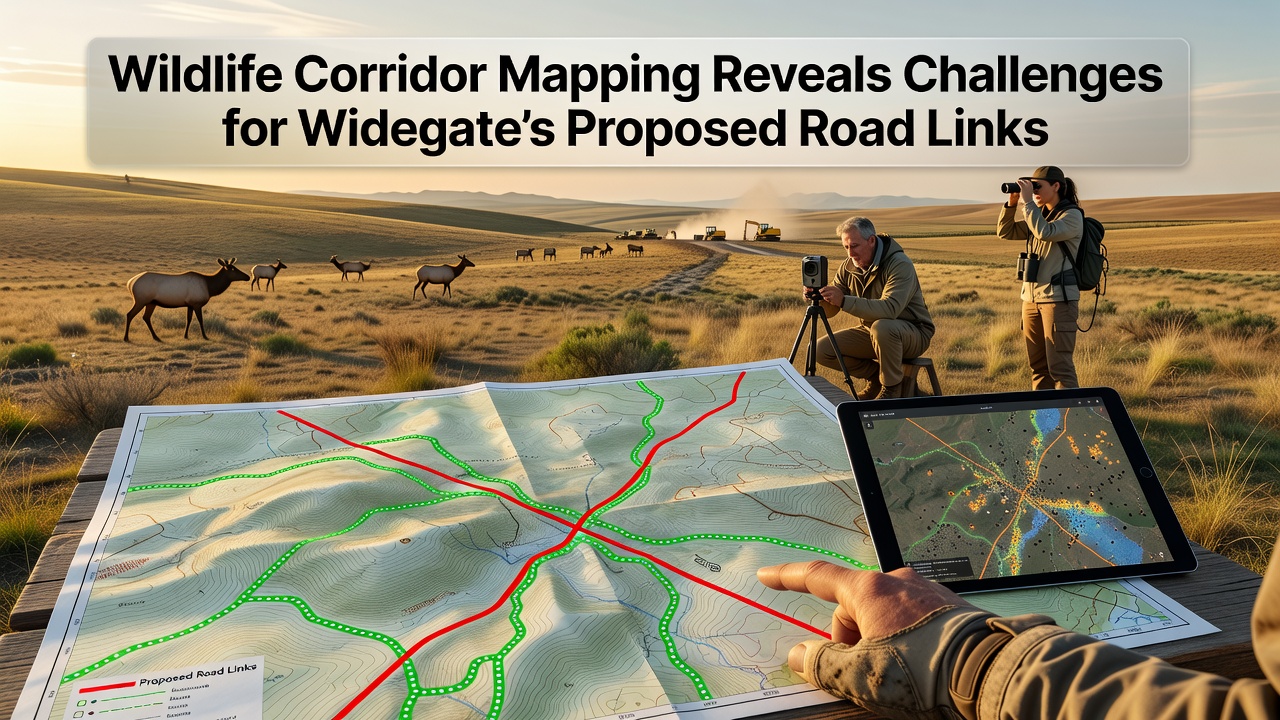
Recent wildlife corridor mapping has identified several areas where planned road developments in Widegate would intersect with established migration paths for local species, and planners now face decisions that balance infrastructure goals with habitat connectivity needs. Data collected through satellite tracking and field surveys shows corridors used by deer, badgers, and various bird populations running directly across proposed alignments for new link roads scheduled for further review in September 2026.
Mapping Methods and Key Findings
Researchers employed GPS collar data combined with camera trap networks to trace animal movements across Widegate's green spaces, and the resulting heat maps highlight three primary corridors that cross the proposed routes at multiple points. One corridor follows a wooded valley that supports seasonal travel for larger mammals, while another runs along hedgerows near existing farmland where smaller mammals and ground-nesting birds maintain steady passage. These patterns emerged after two years of continuous monitoring that covered both summer foraging routes and winter shelter shifts.
Studies from the European Environment Agency indicate similar corridor fragmentation occurs when linear infrastructure cuts through mixed woodland and grassland mosaics, and the Widegate results align with those broader European observations. Mapping teams also documented how existing minor roads already create partial barriers, with some animals showing reduced crossing success during peak traffic hours.
Species Impact Data
Camera records reveal that roe deer cross the northern corridor segment an average of 12 times per week during autumn months, yet the southern segment sees higher activity from badger clans moving between setts and foraging areas. Bird species such as yellowhammers and skylarks use the open corridor edges for nesting, and any road construction would require mitigation measures like underpasses or elevated sections to maintain those flight and movement lines. Population counts from the past five seasons show stable numbers in areas with intact corridors, whereas sections near current busy roads display lower densities.
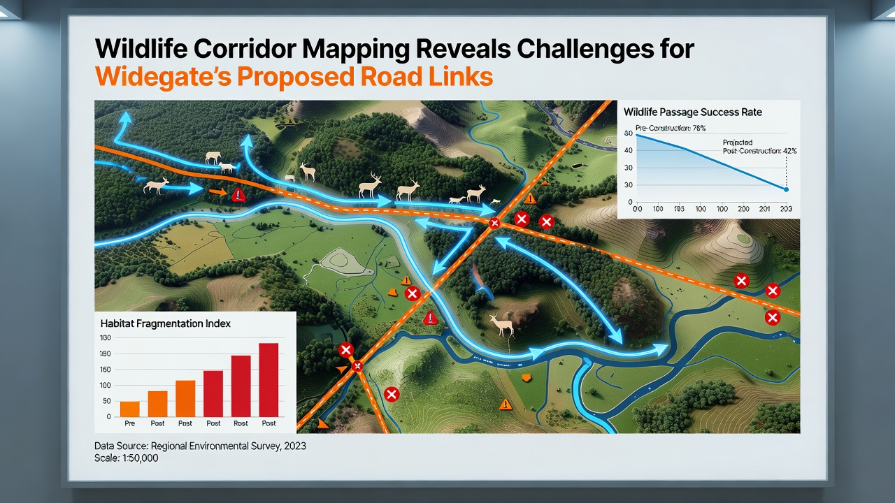
Further analysis indicates that amphibians and reptiles also rely on damp corridor sections during breeding migrations, and the mapping data flags several ponds connected by these routes. Disruption here could affect local frog and newt populations that have shown recovery trends since earlier habitat restoration efforts.
Infrastructure Planning Context
Local authorities have outlined three road link options that aim to reduce congestion on older routes through Widegate, and each option overlaps with at least one identified corridor. Engineers have already modeled basic crossing structures such as tunnels and green bridges, yet cost estimates and maintenance requirements remain under evaluation. September 2026 marks the next public consultation phase where updated corridor maps will be presented alongside revised engineering drawings.
Traffic volume projections suggest the new links could handle an additional 8,000 vehicles daily once complete, and this increase raises questions about noise and light pollution extending into adjacent habitat zones. Planners reference guidelines from Australia's Department of Climate Change, Energy, the Environment and Water on linear infrastructure design, which emphasize maintaining functional connectivity even when full avoidance proves impractical.
Mitigation Options Under Review
Options discussed so far include dedicated wildlife underpasses spaced at intervals along the corridors, combined with fencing that directs animals toward safer crossing points. Vegetation planting on overpasses could recreate micro-habitats that encourage continued use, and monitoring protocols would track effectiveness after construction. Some designs incorporate ledges within culverts for smaller species, while larger structures allow passage for deer and badgers without forcing them onto road surfaces.
Additional measures under consideration involve seasonal construction pauses during peak migration windows and reduced lighting schemes that limit sky glow into surrounding fields. These steps draw from case studies in Canadian provinces where similar road projects incorporated multi-species passages with measurable success in maintaining gene flow across populations.
Conclusion
The corridor mapping exercise has supplied planners with precise locations where road alignments intersect wildlife pathways, and this information now feeds directly into the design process ahead of the September 2026 consultation. Continued data collection will refine crossing structure placements while ongoing monitoring tracks species responses to any implemented changes. The integration of these findings into final plans represents a standard approach seen in multiple regions where infrastructure expansion meets established ecological networks.